California unveils earthquake warning system
New system sends earthquake warnings through an app and the wireless system that issues Amber Alerts; insight from Richard Allen, director of the UC Berkeley Seismological Lab.
NEWYou can now listen to Daily Post articles!
A new study from geologists at the Washington State Department of Natural Resources (DNR) has found that the impact of a magnitude 7.5 earthquake on the Seattle Fault could cause tsunami waves as high as 42 feet tall.
According to the department's simulation, those waves would reach the greater Seattle area within just three minutes, extending inland as far as Lumen Field and T-Mobile Park.
In addition, the waves would hit the shoreline during that timeframe in many places on the eastern side of Bainbridge Island, Elliott Bay and Alki Point.
The Washington Geological Survey division conducted the study to help assist local and state emergency managers and planners.
FRENCH HEALTH BODY INDICATES AT-RISK GROUPS TO BE VACCINATED AGAINST MONKEYPOX

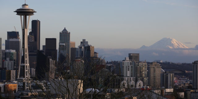
The Space Needle and Mount Rainier are seen on the skyline of Seattle, Washington, U.S. February 11, 2017.
(REUTERS/Chris Helgren)
Inundation from such an event would exceed 20 feet along the shoreline of the greater Seattle area.
Strong currents and inundation may continue for more than three hours from the start of the earthquake.
The six feet of inundation at the Port of Tacoma would be lower than previous studies, however, it also found that waves may travel up to three miles inland in parts of the port.

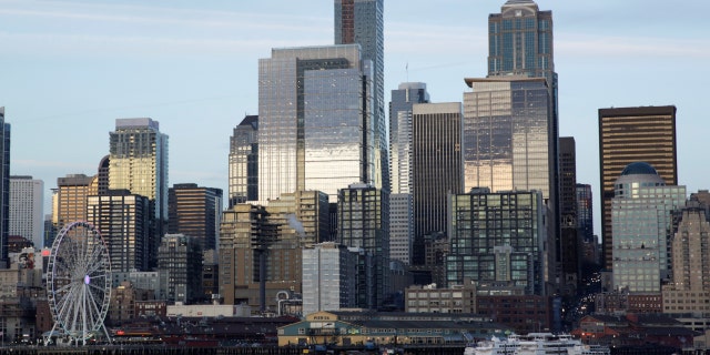
The Seattle skyline is pictured from a Washington State Ferry following a statement from ferry officials asking riders to consider staying in their vehicles when driving onboard and other steps to minimize coronavirus exposure in Seattle, Washington, U.S. March 4, 2020.
(REUTERS/Jason Redmond)
The study also showed shoreline flooding and increased currents throughout the Salish Sea – from Blaine to Olympia.
The Seattle Fault crosses east-west through Puget Sound and downtown Seattle.
PROSOPAGNOSIA: WHAT IS THE FACE BLINDNESS CONDITION THAT BRAD PITT SAYS HE HAS
The scenario used in this modeling is for a very large, low-probability earthquake, producing the maximum-considered Seattle Fault-generated tsunami for emergency planning purposes.
The model does not take tide stages or local tsunamis triggered by earthquake-induced landslides into account.

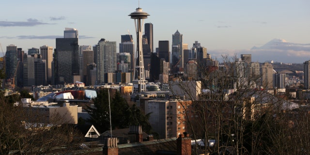
The Space Needle and Mount Rainier are seen on the skyline of Seattle, Washington, U.S. February 11, 2017.
(REUTERS/Chris Helgren)
The last earthquake on the Seattle Fault occurred approximately 1,100 years ago.
The department wrote that evidence shows five additional earthquakes of an estimated magnitude 6.5 occurred within the Seattle Fault zone over the course of the last 3,500 years.
"Although the chances of this happening in our lifetime is low, it's important for families to get prepared now," Maximilian Dixon, the hazards and outreach program supervisor for the Washington Emergency Management Division, said in a statement. "The ground shaking will be your warning that a tsunami may be on the way. Make sure you know where the closest high ground is and the quickest route to get there. Get signed up for tsunami and local alerts."
Sci Tech


